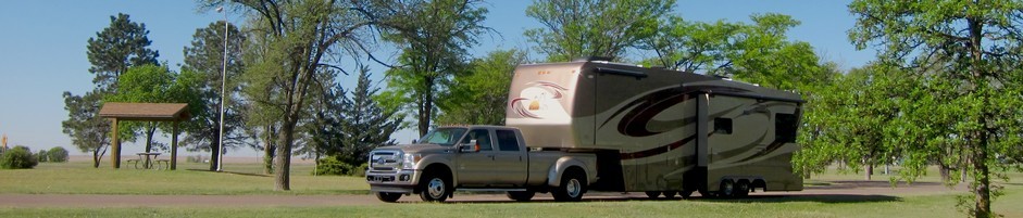
We moved this morning to Horsethief Campground just outside of Canyonlands National Park. We stopped along the way at a Shell Station near the intersection of Hwy 191 and Hwy 313 to add fresh water to our tank. None of the BLM campgrounds has water, so this station sells it for $1 for each 10 gallons. We planned to get to Horsethief early enough to get a spot. It's first come first served, and not all the sites will accommodate a big rig. We did find a nice spot, and it was even easy to get into.

After lunch we drove to Canyonlands Island in the Sky Visitor Center and got a map and advice on scenic viewpoints and hiking opportunities. We are lucky to have gotten into Horsethief evidently, because October is the highest visitation month for Canyonlands. That makes sense because the summer heat is quite intense here. We had a really lovely day today, sunny with a high near 70 and clear blue skies.
We did everything the ranger recommended. It was great, but made for a very full day. By the time we got home just after 7:00 p.m., both of us were tired and hungry!


We stopped first at Mesa Arch and took the half-mile loop trail to the arch. You have to wait your turn to take photos there. Someone is usually up on the arch being photographed.
Next we drove to the Green River Overlook. The Green River forms the western border of the Island in the Sky district, and the Colorado forms the eastern border. Island in the Sky District extends to the confluence of the two rivers, but it takes a long hike starting in the Needles District to reach the Confluence Overlook. The Island in the Sky mesa tip is at the Grand View Point, which is the end of the road.
We continued to the Upheaval Dome, where we took the one-mile hike to the First Overlook. At least that's what we intended. Actually we missed the turnoff to the First Overlook and hiked to the Second Overlook. We stopped at the First Overlook on the way back to the parking lot. The view from the First Overlook is really the best.
Next we drove to the Grand View Point Overlook, which looks down on the Monument Basin, so named because of the tall spires and sheer walls created by erosion here. We hiked the Rim Trail, which is two miles round trip (out and back). It actually offers some great views to the south at the Monument Basin and beyond, and then unexpectedly you find vistas of the canyon to the north. Altogether a very scenic trail and well worth hiking. We encountered only a few other hikers on this trail.
Part way back I was surprised to get a phone call from my cousin Beth, reporting on Aunt Iris's condition. She's in the hospital with a partial bowel obstruction, which can be life threatening for an ostomy patient like her, but Beth reports that her mom is feeling better and may get out of the hospital on Monday. I was quite surprised to find that I had Verizon service out on the trail since much of the park has no service.
Out final brief stop was at the Buck Canyon Overlook, which offers good views of the eastern canyon. You can't see the Colorado because it has cut such a deep channel.
Back home we ate supper and then rested a bit before washing the dishes and packing tomorrow's lunch. We are headed to Arches National Park for the day tomorrow.


0 comments:
Post a Comment